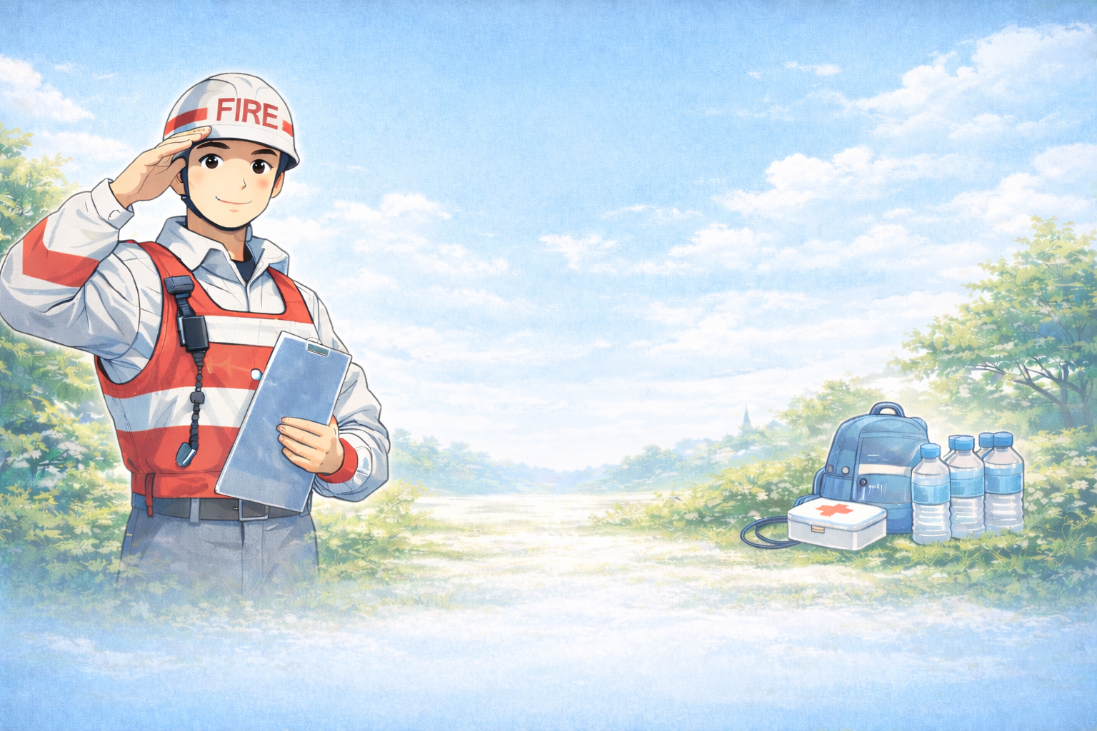
Hazard maps identify areas at risk for earthquakes, floods, tsunamis, and other disasters. Understanding and using these maps helps families make safer decisions during emergencies. Drawing from my experience as a firefighter deployed to disaster-affected areas, I provide practical guidance on using hazard maps effectively.
■① Why Hazard Maps Matter
- Identify high-risk areas to avoid during disasters
- Support safe evacuation route planning
- Enhance family and community preparedness
During deployments, families who referred to hazard maps evacuated more efficiently and avoided dangerous areas.
■② The Most Dangerous Assumption: “We Know the Risk”
Many assume:
- Their neighborhood is safe
- Hazard maps are unnecessary
- Roads and buildings are always accessible
I witnessed preventable injuries in areas ignored by residents.
■③ Identifying Hazards
- Flood zones, landslide-prone areas, and tsunami risk regions
- Earthquake fault lines and vulnerable infrastructure
- Areas prone to tornadoes and hurricanes
Field experience shows that awareness of local hazards improves response and survival.
■④ Planning Evacuation Routes
- Use hazard maps to determine multiple safe routes
- Avoid floodplains, weak bridges, and high-risk streets
- Identify community shelters and high ground
Practiced routes prevent panic and ensure safe evacuation.
🛡 What a former firefighter actually relied on in the field
Most quake injuries come from falling furniture. Securing it is the top priority.
📦 Furniture Anti-Tip Anchors (10 Pack) ›
As an Amazon Associate we earn from qualifying purchases.
■⑤ Incorporating Maps Into Family Plans
- Review maps with all family members
- Include pets, children, and elderly in planning
- Combine hazard information with emergency kit locations
Prepared families responded confidently during actual disasters.
■⑥ Communication and Awareness
- Keep hazard maps accessible digitally and in print
- Share maps with neighbors and local support networks
- Update plans as new hazard data becomes available
Timely access and awareness improve decision-making during emergencies.
■⑦ Protecting Vulnerable Family Members
- Supervise children, elderly, and disabled members
- Assign adults to guide them along safe routes
- Provide clear instructions based on identified hazard zones
Supervised planning reduces risk and ensures safety.
■⑧ Lessons From Field Experience
From firefighter deployments:
- Families using hazard maps avoided dangerous areas
- Pre-planned evacuation routes reduced delays and injuries
- Awareness and knowledge of hazards save lives
■Summary|Hazard Maps Save Lives
Using hazard maps for evacuation planning and risk awareness ensures family safety during disasters.
Conclusion:
As a former firefighter deployed to disaster zones, I can say clearly that families who study and use hazard maps, plan safe routes, and practice evacuation protect lives. Preparation and situational awareness are essential for survival.

Comments